QField blog

qfield-git-history

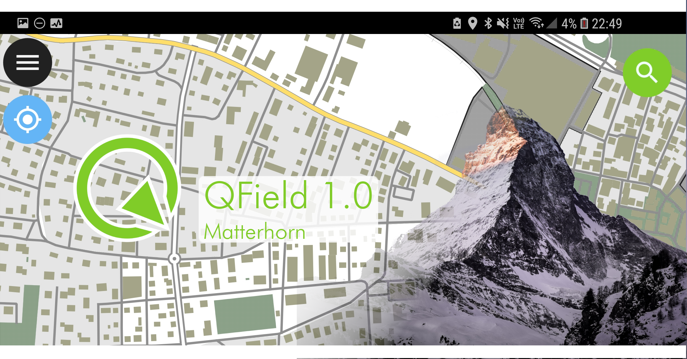
QFieldCloud now opensource - Happy 10 Years of field mapping with QGIS

Today, on QField’s 10th anniversary, we’re extremely proud to publish the results of over 18 months of development and give you the source code of QFieldCloud to go and make your awesome adaptations, solutions, and hopefully contributions :) If you want to quickly try it out, head to https://qfield.cloud where our hosted solution is running and secure yourself a spot in the beta program. QFieldCloud’s unique technology allows your team to focus on what’s important, making sure you efficiently get the best field data possible. Thanks to the tight integration with the leading GIS fieldwork app QField, your team will be able to start surveying and digitising data in no time. ...

June 8, 2021 · 10 min · mbernasocchi
freehand

Powerful and gentle QField 1.8 Selma sneaked in

Get fieldwork smoothly and nimbly done despite the ice and snow outside. Collect accurate data with freehand digitizing and improved form widgets, use the data from your external GNSS receivers without any third-party apps and enjoy the pleasant usability of QField 1.8 Selma. This year started off hi-speed for us. There’s been already a lot of coding, designing and teaching, and we’ve thrown ourselves into these things we love to do. And we published another QField release last week that I completely forgot to announce in this blog. But here it is. It’s QField 1.8, Selma. And it’s packed with cool features. ...

February 24, 2021 · 5 min · signedav
qml_land_trans

QField 1.7 Rockies hits the stage

Be ready for the cold weather with a smooth coordinate search, filters in the value relation widget, fancy new QML and HTML widgets, enhanced geometry editing functionalities and an expandable legend. Right when Autumn starts, QField 1.7 Rockies hits the stage. As usual get it now on the play store or on github! The days are getting shorter and the wind blows colder. It’s always good to be in a good company outside while getting your mapping work done. QField will be your reliable companion. ...

October 20, 2020 · 4 min · signedav
selection_00-1

QField 1.6 is out!

Editing multiple features at the same time, support for stylus pens, dynamic configuration of image names and much more. QField 1.6 Qinling 秦岭 comes packed with awesome new features and an improved user experience. We have been very busy over the last few months working on a new and shiny QField release. We have added many new features that increase efficiency on the field or allow for new workflows. In parallel, we have also been working on ironing out a series of issues and improving the overall user experience to make the app as pleasurable to use as possible. The result is QField 1.6 which has been published now. ...

August 18, 2020 · 5 min · mkuhn
Screenshot from 2020-06-08 13-00-42

Offline WMS - Benchmarking raster formats for QField

What are we looking for? We would like to use WMS offline on QField. For that, we need to figure out what is the best way to get a raster from a WMS and which format is the most efficient (size and performance). In this post we’ll show you is how to generate the ideal raster file from a WMS and the results of our efficiency tests for the the different raster formats. ...

June 9, 2020 · 4 min · lucie
qfield_love_09

QField 1.4 released - Happy new year

What a year’s start! After a very packed December publishing all the QGIS on the road videos and quietly releasing QField 1.3 - Ben Nevis we could have gone and relaxed over the holidays. But since we love QField so much we immediately started working on the next iteration. Now, after an intensive testing period, we are proud to announce the release of QField 1.4 - Olavtoppen. Olavtoppen!? yes, the highest point of Bouvet Island, the remotest island on Earth. And sure enough, QField would follow you there! ...

March 3, 2020 · 5 min · mbernasocchi
qfield_love_04.resized

QField 1.2 released

After an intensive testing period, we are proud to announce the release of QField 1.2 As usual, get it on play store or download it from GitHub. QField Crowdfunding Campaign Before digging into all the new goodness that you will find in QField 1.2, let’s get some big “Thanks” out. What QField currently is was mostly possible thanks to customer projects of which the outcome could be mutualized. Thanks a lot to all of you that agreed open source is all about making things possible together! ...

October 3, 2019 · 3 min · mkuhn
zombie

Win a QField jump-start package, use #MyQField

Do you want to win a QField jump-start package worth 550€? We are launching the # MyQField challenge. Follow us on Twitter and show us how you use @ QFieldForQGIS by tagging your tweets with # MyQField and # dataisoutside. The tweet with most likes and retweets by 24.4.19 wins the training! Rules You need to follow @ OPENGISch and @ QFieldForQGIS Likes count single, retweet count double You can participate multiple times We will count on 24.4.19 at 20:00 CET The prize is a half day jump-start package worth 550€ Risk assessment ...

April 11, 2019 · 1 min · mbernasocchi
QField_1.0

QField 1.0 is here

Let’s get straight to the point It’s official, QField for QGIS 1.0 is out! Get it while it’s hot on the Playstore ( qfield.org/get) or on GitHub We are incredibly pleased and proud of just having released such a jewel and are convinced that, thanks to all its features and conscious design choices, QField will make your field digitizing work much more efficient and pleasant. Packed with loads of useful features like online and offline features digitizing, geometry and attributes editing, attribute search, powerful forms, theme switching, GPS support, camera integration and much more, QField is the powerful tool for those who need to edit on the go and would like to avoid standing in the swamp with a laptop or paper charts. ...

March 28, 2019 · 6 min · mbernasocchi
_MG_3711

GeoBeer #26 in Bern hosted by OPENGIS.ch

Last Thursday around half past six in the evening. Striking many Geo-scientist found the way to the Spitalgasse in Bern. The reason was the 26th GeoBeer event taking place at [ImpactHub](https:// https://bern.impacthub.net/). [GeoBeer](https:// https://www.geobeer.ch) is a quarterly meeting of people interested in geography, GIS, cartography and the latest technologies. It’s hosted every time by someone else. This time by us, OPENGIS.ch. Right after the arriving, the organizers of GeoBeer Switzerland showed us some funny statistics about the GeoBeer participants since the very first GeoBeer event six years ago. Marco Bernasocchi then welcomed everyone and introduced our company. We had three speakers this time. Marcus Hudritsch of the Berner Fachhochschule started by presenting the implementation of the visualization of historical buildings, that do not exist anymore in reality. But still, do in virtual reality… No sorry, it’s augmented reality. Marcus Hundritsch explained to us clearly the difference between AR and VR and presented some projects they made. [Pascal Bourquin](https:// https://twitter.com/BourquinPascal) changed perspective completely by telling us about his project (La Vie en Jaune) to cover all the hiking trails of Switzerland - he logs every trail done on a [map with photographs](https:// https://map.lavieenjaune.ch/ ). The final speaker was Daniele Viganò from the Global Earthquake Model Foundation talking about their challenges of calculating a global model of earthquake hazard, risk and exposure. ...

March 25, 2019 · 2 min · signedav

QField is the leading professional fieldwork app used in enterprise settings for efficient geospatial data collection and management. As a Digital Public Good, QField not only excels in enterprise and professional applications but also contributes significantly to advancing at least six of the United Nations Sustainable Development Goals (SDGs), promoting a more sustainable and equitable future.

Stay in the loop

Subscribe to our newsletter and stay up to date on the latest and greatest!

Open-source

QField is released under the GNU Public License (GPL) Version 2 or above. Developing QField under this license means that you can inspect and modify the source code and guarantees that you will always have access to a QGIS based field data collection app that is free of cost and can be freely modified.

Privacy

View the QField Privacy Policy to learn what information is collected, used and how we protect this.

Credits

QField, QFieldCloud and QFieldSync are developped by OPENGIS.ch. OPENGIS.ch offers consulting, development, training and support for open-source software including QField, QGIS and PostGIS.